
Home > Maps
EXPL2A-00353

Poster Prints
Photo Prints
Jigsaw Puzzles
crop_landscape
Cards
Canvas Prints
Fine Art Prints
Mounted Prints
Home Decor
Metal Prints
![]()
Wall Art and Photo Gifts from North Wind
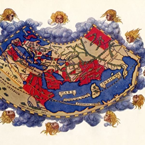
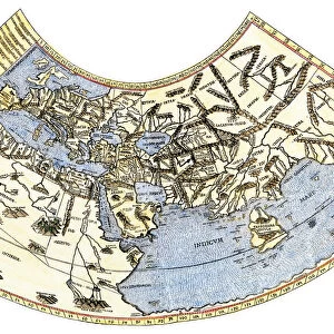
EXPL2A-00353
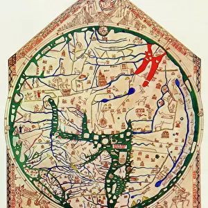
Ptolemys map of the world shown in red, true locations in black.
Printed color lithograph 19th century
Media ID 5881950
© North Wind Picture Archives
Africa Asia Cartography Earth Europe Flat Earth Medieval Mediterranean Mid East Middle Ages Navigation Ocean World World Map
MADE IN THE UK
Safe Shipping with 30 Day Money Back Guarantee
FREE PERSONALISATION*
We are proud to offer a range of customisation features including Personalised Captions, Color Filters and Picture Zoom Tools
SECURE PAYMENTS
We happily accept a wide range of payment options so you can pay for the things you need in the way that is most convenient for you
* Options may vary by product and licensing agreement. Zoomed Pictures can be adjusted in the Basket.
Beautiful Photo Prints and Gifts
Professionally Printed
Photo Prints are in stock
Professional quality finish
Made with high-grade materials
Carefully packed to aid safe arrival
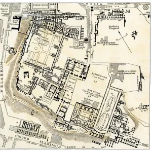
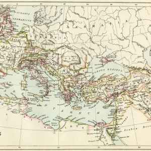
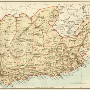
Related Images
+
Shipping
+
Choices
+