Home > Exploration
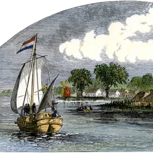
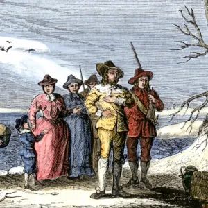
Dutch map of New Netherland and New England

![]()
Wall Art and Photo Gifts from North Wind
Dutch map of New Netherland and New England
New Netherland and New England, circa 1630.
Hand-colored 19th-century woodcut reproduction of DeLaets map
Media ID 5880982
© North Wind Picture Archives
1600s 17th Century America Cape Cod Colonial Connecticut Discover Dutch Dutch Colony Eastern English English Colony Exploration Explore Hudson River Lake Champlain Massachusetts New Amsterdam New England New Jersey New Netherland New World New York Rhode Island
FEATURES IN THESE COLLECTIONS
> Maps
MADE IN THE UK
Safe Shipping with 30 Day Money Back Guarantee
FREE PERSONALISATION*
We are proud to offer a range of customisation features including Personalised Captions, Color Filters and Picture Zoom Tools
SECURE PAYMENTS
We happily accept a wide range of payment options so you can pay for the things you need in the way that is most convenient for you
* Options may vary by product and licensing agreement. Zoomed Pictures can be adjusted in the Basket.