
Home > British history
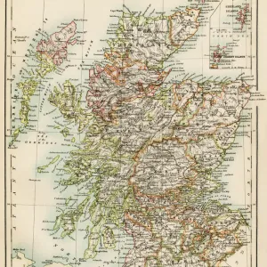
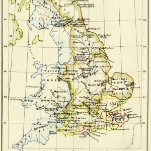
Map of England, 1800s

Poster Prints from North Wind
Map of England, 1800s
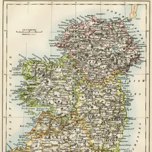
Map of England and Wales, 1870s.
Color lithograph reproduction of a 19th-century illustration
Media ID 5879148
© North Wind Picture Archives
1870s Britain British England English Europe European Great Britain Wales
FEATURES IN THESE COLLECTIONS
> Maps
MADE IN THE USA
Safe Shipping with 30 Day Money Back Guarantee
FREE PERSONALISATION*
We are proud to offer a range of customisation features including Personalised Captions, Color Filters and Picture Zoom Tools
SECURE PAYMENTS
We happily accept a wide range of payment options so you can pay for the things you need in the way that is most convenient for you
* Options may vary by product and licensing agreement. Zoomed Pictures can be adjusted in the Cart.
Made in UK
Professional quality finish
Made with high-grade materials
Carefully packed to aid safe arrival
Related Images

+
Shipping
+
Choices
+