mail_outline sales@mediastorehouse.com
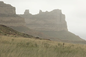
Oregon Trail in western NebraskaOregon Trail, Scotts Bluff National Monument, Nebraska. Digital photograph
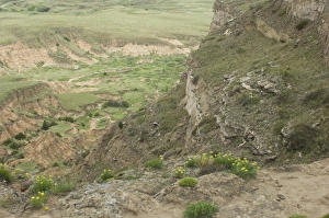
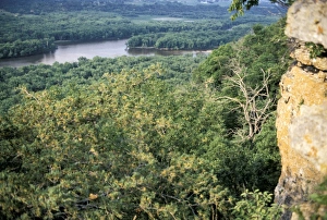
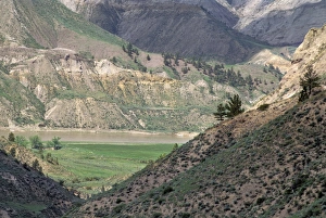
Erosion in western NebraskaErosion in the hills overlooking the Oregon Trail, Scotts Bluff National Monument, Nebraska. Digital photograph
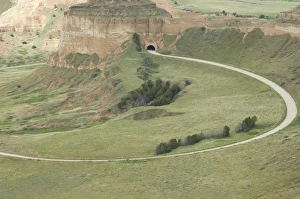
Road ascending Scotts Bluff, NebraskaRoad and tunnel to the top of Scotts Bluff overlooking the Oregon Trail, Scotts Bluff National Monument, Nebraska. Digital photograph
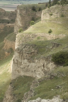
Scotts Bluff, NebraskaCliffs of Scotts Bluff overlooking the Oregon Trail, Scotts Bluff National Monument, Nebraska. Digital photograph
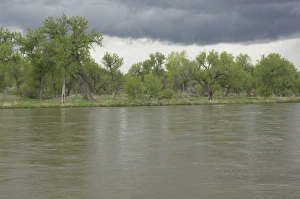
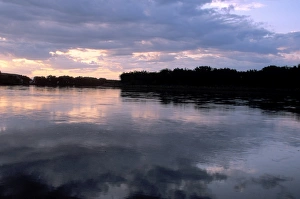
North Platte River in NebraskaStormy sky over the North Platte River along the Oregon and Mormon Trails, Nebraska. Digital photograph
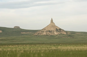
Chimney Rock, NebraskaChimney Rock, a landmark on the Oregon Trail, Nebraska. Digital photograph
Oregon Trail in WyomingWagon ruts of the Oregon Trail near Guernsey, Wyoming. Digital photograph
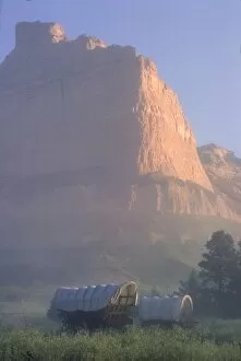
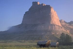
HSET2P-00104Covered wagons on the Oregon Trail at sunrise, Scotts Bluff, Nebraska. Photograph
HSET2P-00108Covered wagons on the Oregon Trail at sunrise, Scotts Bluff, Nebraska. Photograph
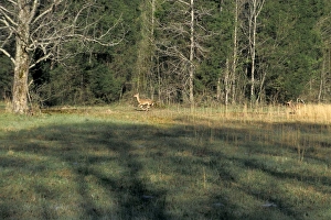
White-tailed deer in AlabamaWild whitetail deer running near the Natchez Trace in northwestern Alabama. Photograph
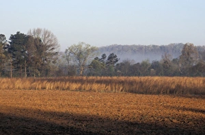
Field of red clay soil in AlabamaTilled field along the Natchez Trace in northwestern Alabama. Photograph
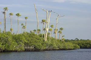
Loxahatchee River, Floridas only wild and scenic riverCormorants watching for fish from a dead tree over the wild and scenic Loxahatchee River, Florida. Digital photograph
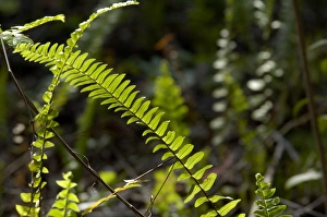
Ferns in the Florida EvergladesTropical understory in a woodland of Everglades National Park, Florida. Digital photograph
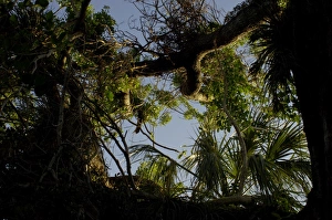
Mahogany tree in the Florida EvergladesAncient mohogany tree in Everglades National Park, Florida. Digital photograph
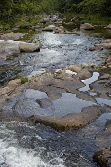
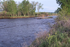
Stream in the White Mountains of New Hampshire and MaineCold River in Evans Notch of the White Mountains, Maine and New Hampshire border area. Digital photograph
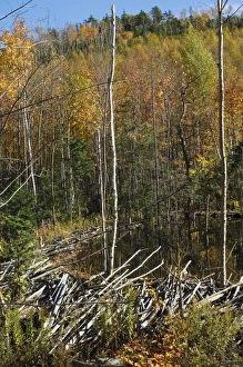
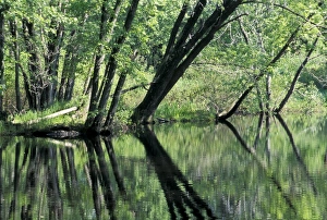
Beaver dam in MainePond created by a beaver dam in Albany Notch, part of the White Mountains National Forest in Maine. Digital photograph
Hiking trail in the Maine mountainsTrail over Albany Mountain in the White Mountains National Forest in Maine. Digital photograph
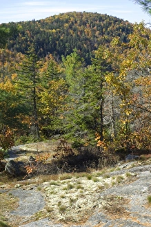
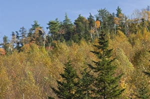
Albany Mountain fall colors, MaineAutumn color on Albany Mountain in the White Mountains National Forest in Maine. Digital photograph
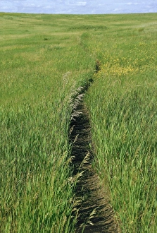
Trail in the grasslands of North DakotaPrairie footpath on Lewis and Clarks route near Mandan, North Dakota. Photograph
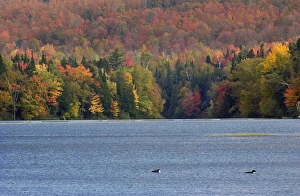
Fall colors in New HampshireLoons on the Androscoggin River surrounded by autumn forests, New Hampshire. Digital photograph
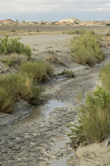
Bisti Badlands, New MexicoStream bed in the Bisti Wilderness, an arid area near the Four Corners, New Mexico. Digital photograph
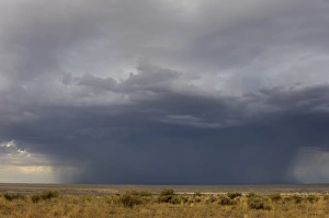
Rainstorm on the high plains, New MexicoRainstorm over the arid plains of the Four Corners area, New Mexico. Digital photograph
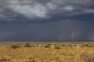
Lightning striking the high plains, New MexicoLightning over the arid plains near the Four Corners, New Mexico. Digital photograph
Pecos Wilderness, New MexicoHigh glacial lake in the Pecos Wilderness, Sangre de Cristo Mountains, New Mexico. Digital photograph
Pecos Wilderness lake, New MexicoGlacial lake in the Pecos Wilderness, Sangre de Cristo Mountains, New Mexico. Digital photograph
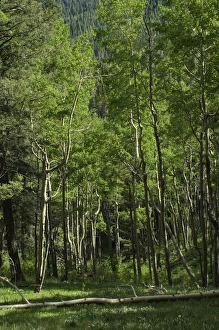
Pecos Wilderness aspen grove, New MexicoAspen forest in the Pecos Wilderness, Sangre de Cristo Mountains, New Mexico. Digital photograph
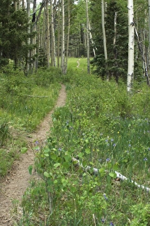
Pecos Wilderness trail, New MexicoTrail through aspen forest in the Pecos Wilderness, Sangre de Cristo Mountains, New Mexico. Digital photograph
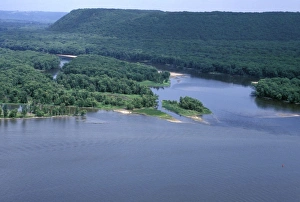
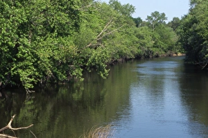
Wisconsin River junction with the MississippiWisconsin River joining the Mississippi River, first explored by Marquette and Joliet, 1673. Photograph
Wisconsin River near its Mississippi River junctionWisconsin River, seen from bluffs near its junction with the Mississippi River, first taken by Marquette and Joliet in 1673. Photograph
Fox River near Princeton, WisconsinFox River, taken by Marquette and Joliet to reach the Mississippi, 1673. Photograph
Fox River, WisconsinFox River, taken by Marquette and Joliet to reach the Mississippi, 1673. Photograph
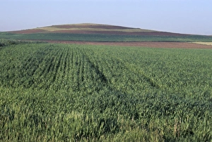
Drumlin, a glacial feature on the Ice Age Trail, WisconsinDrumlin, a glacial remnant now planted with corn, southern Wisconsin. Photograph
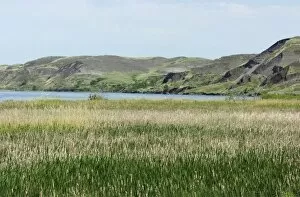
EXPL2D-00028Missouri River where Lewis and Clark had their first meeting with the Sioux Nation, near Pierre, South Dakota, 1804. Digital photograph
Hay family, North DakotaHay art - a family constructed out of hay bales along a North Dakota road. Photograph
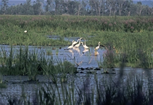
Great egrets in a Wisconsin wetlandGreat egrets, Horicon Marsh National Wildlife Refuge, Wisconsin. Photograph
Clark Fork, MontanaClark Fork River, named for William Clark, named by Lewis and Clark expedition in Montana. Photograph
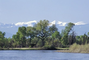
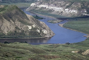
Madison River near its junction to form the Missouri River, MontanaMadison River approaching the Missouri River headwaters at Three Forks, Tobacco Root Mountains in the distance. Digital photograph
Coalbanks Landing on the Missouri River, MontanaDawn over the Missouri River at Coalbanks Landing, a Lewis and Clark campsite in Montana. Photograph
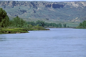
White Cliffs area of the Missouri River, MontanaMissouri River in the White Cliffs backcountry, described by Lewis and Clark, now a wild and scenic river area. Photograph
Judith Landing on the Missouri River, MontanaMissouri River at Judith Landing, a Lewis and Clark campsite in Montana. Photograph
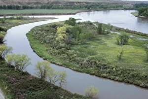
Marias River joining the Missouri River, MontanaMarias River junction with the Missouri River, a Lewis and Clark campsite in Montana. Photograph
Missouri River in the Missouri Breaks area, MontanaMissouri Breaks backcountry of the Missouri River, first described by Lewis and Clark, Montana. Photograph
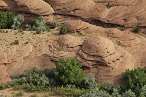
Sandstone shapes in Canyon de Chelly, ArizonaEroded sandstone shapes in Canyon de Chelly, on the Navajo Nation Reservation, Arizona. Digital photograph
Canyon de Chelly sandstone, ArizonaEroded sandstone cliffs of Canyon de Chelly, on the Navajo Nation Reservation, Arizona. Digital photograph
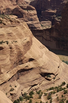
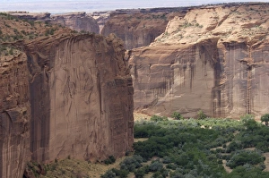
Cliffs of Canyon de Chelly, ArizonaSandstone cliffs of Canyon de Chelly, on the Navajo Nation Reservation, Arizona. Digital photograph
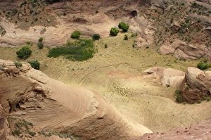
Trail in Canyon de Chelly, ArizonaTrail on the floor of Canyon de Chelly, on the Navajo Nation Reservation, Arizona. Digital photograph
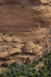
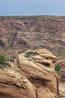
Rimrock of Canyon de Chelly, ArizonaEroded sandstone on the rim of Canyon de Chelly, on the Navajo Nation Reservation, Arizona. Digital photograph
Canyon de Chelly cliffs, ArizonaSandstone cliffs of Canyon de Chelly, on the Navajo Nation Reservation, Arizona. Digital photograph