mail_outline sales@mediastorehouse.com
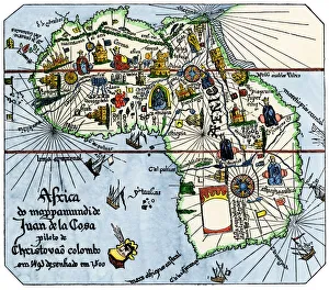
Vasco da Gamas route around Africa, 1400sAfrica as known after Vasco da Gamas discoveries, from map of Juan de la Cosa, 1500. Hand-colored woodcut reproduction
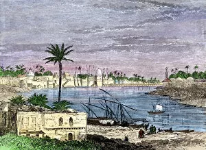
GMDE2A-00032Baghdad straddling the Tigris River. Hand-colored woodcut of a 19th-century illustration
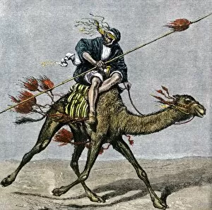
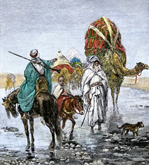
GMDE2A-00007Bedouin messenger racing across the desert on a camel. Hand-colored woodcut of a 19th-century illustration
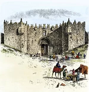
GMDE2A-00014Merchants and camel caravans outside the Damascus Gate, Jerusalem. Hand-colored woodcut of a 19th-century illustration
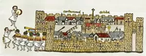
GMDE2A-00025Constantinople, showing a procession at a city gate, about 1340. Hand-colored 19th-century woodcut reproduction of a 14th-century illustration
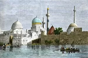
GMDE2A-00034View of Mosul, Iraq, from the Tigris River, 1800s. Hand-colored woodcut of a 19th-century illustration
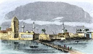
GMDE2A-00033Bridge over the Tigris River at Baghdad, 1850s. Hand-colored woodcut of a 19th-century illustration
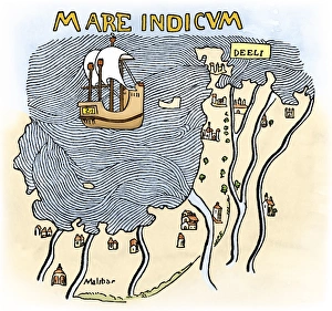
Portuguese traders in India and Ceylon, 1500Calcutta and the southern coast of India, from Juan de la Cosas map, 1500. Hand-colored woodcut reproduction of a 16th-century illustration
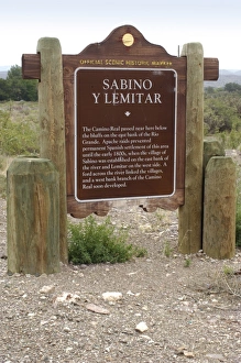
El Camino Real in New MexicoCamino Real historic marker in the Rio Grande valley, Lemitar, New Mexico. Digital photograph
India coast, 1459The Malabar coast of India, from Fra Mauros map, 1459 (south is at the top). Digitally colored woodcut reproduction
GMED2A-00005Arab caravan crossing a stream in the Sahara Desert. Hand-colored woodcut of a 19th-century illustration
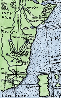
Cape of Good Hope mapped at its correct latitude, 1508First map showing Africas southern point at the correct latitude, from Ruysch 1508. Hand-colored woodcut reproduction of a 16th-century illustration