mail_outline sales@mediastorehouse.com
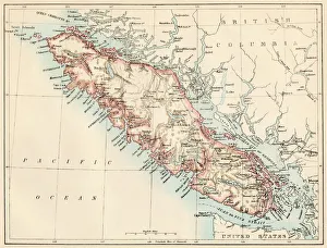
Vancouver Island map, 1870sMap of Vancouver Island, British Columbia, Canada, 1870s. Lithograph reproduction of a 19th-century illustration
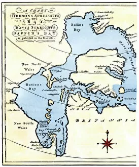
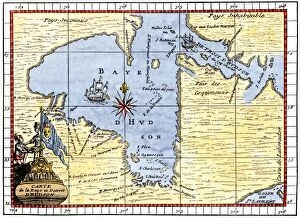
EXPL2A-00284Early map of Hudsons Strait and Hudsons Bay, 1662, in Arctic Canada. Hand-colored 19th-century woodcut reproduction
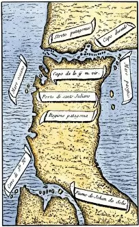
Strait of MagellanThe Strait of Magellan, ship passageway around the Horn of South America. Hand-colored woodcut of a 19th-century illustration
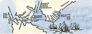
EXPL2A-00239First map of the Strait of Magellan from Magellans circumnavigation of the earth in 1519 showing north at the bottom. Hand-colored 19th-century woodcut reproduction of Pigafettas 16th century map
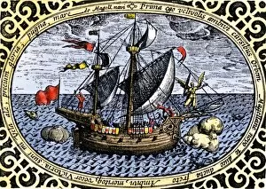
EXPL2A-00240Ship " Victoria, " one of Magellans fleet which circumnavigated the earth, 1519-1520. Hand-colored 19th-century woodcut reproduction of an earlier illustration
EXPL2A-00197Hudsons map of his voyages in the Arctic, published in 1612. Hand-colored 19th-century reproduction of a woodcut from Hudsons " Voyages" published in 1612
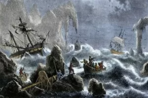
EXPL2A-00271Vitus Berings Russian expedition ships wrecked upon the Aleutian Isles. 1741. Hand-colored woodcut of a 19th-century illustration
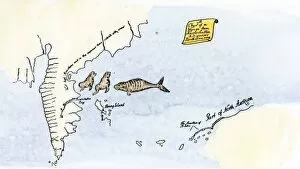
EXPL2A-00150Chart of Vitus Berings voyage from Kamchatka, Russia, to North America, 1700s. Hand-colored 19th-century woodcut reproduction
EXPL2A-00190Map of Hudsons Bay, Canada, showing Hudsons Strait, 1722. Hand-colored 19th-century woodcut reproduction of an 18th-century map