mail_outline sales@mediastorehouse.com
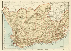
Map of Cape Colony, South AfricaSouth Africa when a British colony, 1870s. Printed color lithograph of a 19th-century illustration
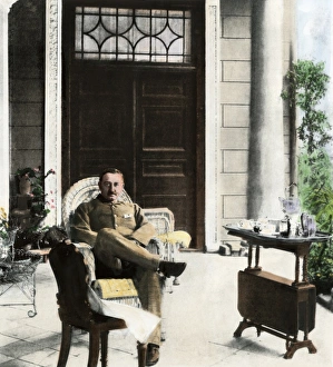
Cecil Rhodes in South Africa, 1900Cecil John Rhodes, British colonial administrator, on his verandah near Cape Town, South Africa, c. 1900. Hand-colored halftone reproduction of a photograph
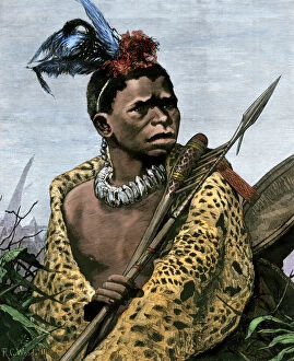
GAFR2A-00049Young Zulu chief in South Africa, 1870s. Hand-colored woodcut of a 19th-century illustration
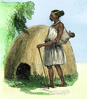
GAFR2A-00051Zulu mother and child by their hut, Natal, South Africa. Hand-colored woodcut of a 19th-century illustration
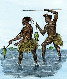
GAFR2A-00050Zulu fishermen at work, Natal, South Africa. Hand-colored woodcut of a 19th-century illustration
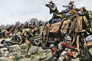
Boer War battle, 1902Boer assault on a British convoy in South Africa, 1902. Hand-colored halftone reproduction of an eyewitness illustration
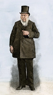
South Africa President Paul KrugerPaul Kruger, President of the South African Republic, 1890s. Hand-colored woodcut of a 19th-century illustration
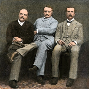
Cecil Rhodes and other British South Africa Company officials, 1896Doctor Jameson, Cecil Rhodes, and J.T. Newton (left-right), administrators of the British South Africa Company, 1896. Hand-colored haltone reproduction of a photograph
GAFR2A-00017British General Sir George Colley at Majuba Mountain, Transvaal War, 1881. Hand-colored woodcut of a 19th-century illustration
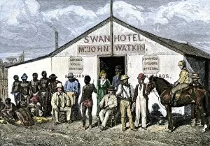
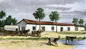
GAFR2A-00047Swan Hotel in the diamond-mining region of South Africa, 1870s. Hand-colored woodcut of a 19th-century photograph
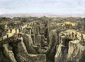
GAFR2A-00048Prospectors working the diamond diggings near Colesberg, South Africa, 1872. Hand-colored woodcut of a 19th-century illustration
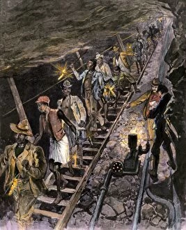
GAFR2A-00053Native workers descending into a diamond mine near Johannesburg, South Africa, 1890s. Hand-colored woodcut of a 19th century illustration
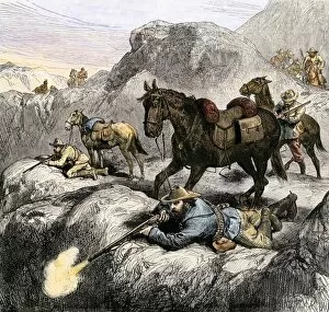
GAFR2A-00015Boer marksmen in battle against the British in the Transvaal, 1881. Hand-colored woodcut of a 19th-century illustration
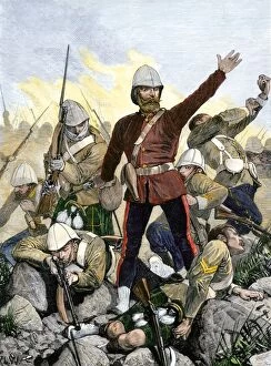
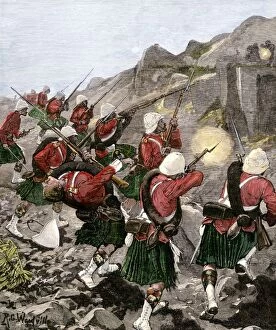
GAFR2A-00016British 92nd Highlanders skirmish with Boers in the Transvaal War, South Africa, 1881. Hand-colored woodcut of a 19th-century illustration
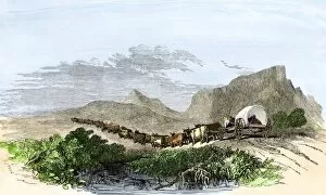
GAFR2A-00028Cape of Good Hope wagon drawn by oxen, South Africa, 1800s. Hand-colored woodcut of a 19th-century illustration
GAFR2A-00004A Boer farm in South Africa, mid-1800s. Hand-colored woodcut of a 19th-century illustration
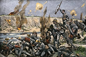
British surround Cronjes camp at Paardeberg, Boer WarEnglish bombardment of Paardeberg to capture Cronje in the Boer War, 1900. Hand-colored halftone reproduction of an eyewitness illustration
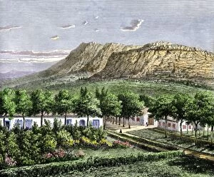
GAFR2A-00027Village of European settlers in the Orange Free State, South Africa, 1870s. Hand-colored woodcut of a 19th-century illustration
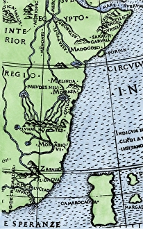
Cape of Good Hope mapped at its correct latitude, 1508First map showing Africas southern point at the correct latitude, from Ruysch 1508. Hand-colored woodcut reproduction of a 16th-century illustration