mail_outline sales@mediastorehouse.com
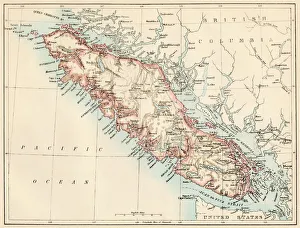
Vancouver Island map, 1870sMap of Vancouver Island, British Columbia, Canada, 1870s. Lithograph reproduction of a 19th-century illustration
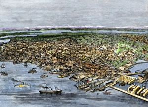
Busy Seattle harbor, circa 1890Bird s-eye view of Seattle, Washington Territory, circa 1890. Hand-colored woodcut of a 19th-century illustration
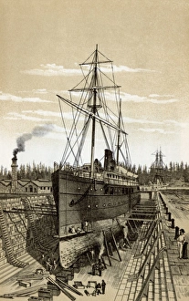
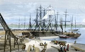
Vancouver Island shipyard, 1800sDrydock at Esquimalt, British Columbia, 1880s. Lithograph reproduction of a 19th-century illustration
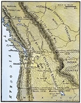
EXPL2A-00210Map of Oregon Territory showing boundary of US with English Canada under dispute until 1846. Hand-colored woodcut of a 19th-century illustration
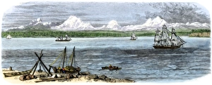
Ships on Puget Sound near Seattle, Washington, 1880sCascade Range on the Pacific coast of Puget Sound, 1880s. Hand-colored woodcut of a 19th century illustration
BUSN2A-00178Loading lumber onto ships in Puget Sound, Washington State, 1880s. Hand-colored lithograph of a 19th-century illustration
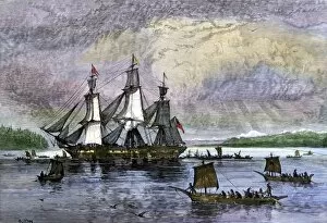
BUSN2A-00223Native Americans paddling canoes to a trading ship on the Pacific Northwest coast. Hand-colored woodcut of a 19th century illustration