mail_outline sales@mediastorehouse.com
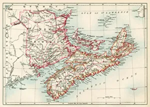
New Brunswick and Nova Scotia, 1870sMap of Nova Scotia, Prince Edward Island, and New Brunswick, 1870s. Printed color lithograph
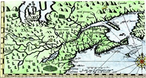
EXPL2A-00184Part of the 1613 Samuel de Champlain map of New France. Hand-colored woodcut of a 19th-century reproduction of the original ma
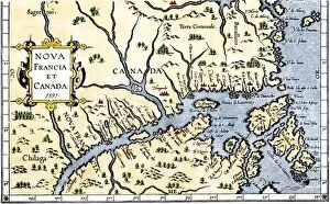
EXPL2A-00325Map of New France and Canada, 1597. Hand-colored 19th-century woodcut reproduction of a 16th-century map printed in Wytfliet
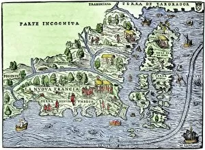
EXPL2A-00126Map of New France, 1550, showing the coast of Canada and the Gulf of Saint Lawrence Hand-colored woodcut