mail_outline sales@mediastorehouse.com
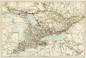
Ontario, 1870sMap of Ontario, Canada, 1870s. Printed color lithograph
EXPL2A-00128Landing of Jean Nicolet on the Wisconsin shore of Lake Michigan, 1634, the first European to reach that region. Hand-colored halftone of a 19th-century illustration
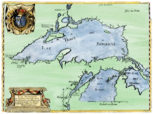
French settlement of the Great Lakes, 1600sFrench Jesuit map of Lake Superior, Upper Michigan, and Wisconsin, 1600s. Hand-colored woodcut of a 17th-century illustration
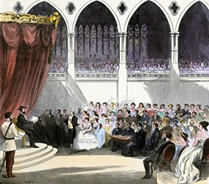
First independent Canadian Parliament session, 1867Opening of the first Parliament of the new Dominion of Canada, 1867. Hand-colored woodcut of a 19th-century illustration
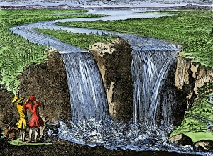
La Salle at Niagara Falls, 1669French explorer La Salle at Niagara Falls, 1669. Hand-colored woodcut of a 19th-century illustration
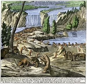
EXPL2A-00356Beavers at work below Niagara Falls, early 1700s. Hand-colored woodcut from Molls New and Exact Map
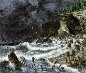
Shipwreck on Lake Superior, 1800sStorm washing shipwreck victims and debris ashore along Lake Superior, 1800s. Hand-colored woodcut of a 19th-century illustration
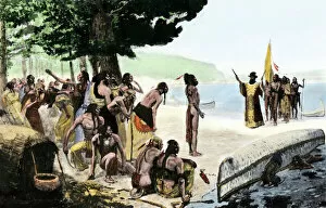
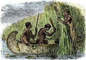
NATI2A-00199Native American women gathering wild rice by threshing it into their canoe. Hand-colored woodcut of a 19th-century illustration
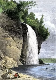
NATI2A-00049Native American and his canoe beside Silver Cascade on the shore of Lake Superior, 1800s. Hand-colored woodcut of a 19th-century illustration
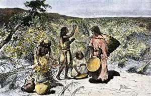
NATI2A-00042Native American women gathering wild rice in baskets. Hand-colored woodcut of a 19th-century illustration
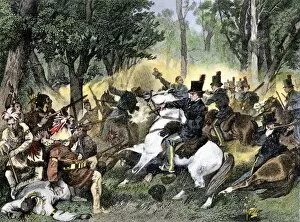
PNAT2A-00042Tecumseh killed by William Henry Harrisons forces at the Battle of the Thames, 1813. Hand-colored halftone of a 19th-century illustration
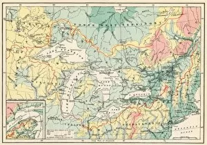
EXPL2A-00357Map of the Great Lakes and the St. Lawrence watershed. Printed color lithograph, 19th century
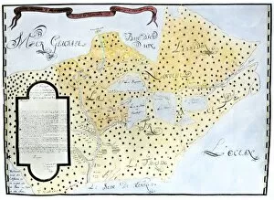
EXPL2A-00329Louis Joliets map of New France, 1673-1674, including the upper Mississippi River he and Jacques Marquette discovered. Hand-colored halftone reproduction
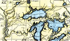
EXPL2A-00350French map of the Great Lakes and upper Mississippi River region, circa 1700. Hand-colored 19th-century woodcut reproduction
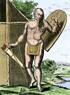
NATI2A-00149A Canadian Native American holding shield, bow, and arrows in a quiver. Hand-colored woodcut
BUSN2A-00204French traders canoeing on a river in the forests of North America. Hand-colored woodcut of a 19th century illustration
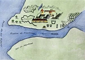
EXPL2A-00267Fort Frontenac on Lake Ontario, 1600s, at the head of the St Lawrence River, now Kingston, Ontario. Hand-colored 19th century halftone reproduction of the original map