mail_outline sales@mediastorehouse.com
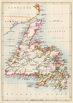
Newfoundland, 1870sMap of Newfoundland, Canada, 1870s. Printed color lithograph
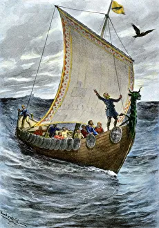
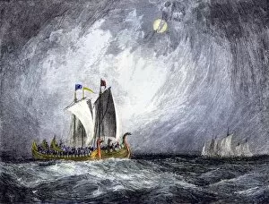
Viking ship at seaNorsemen at sea following their raven pilot. Hand-colored halftone reproduction of a 19th-century illustration
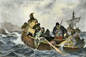
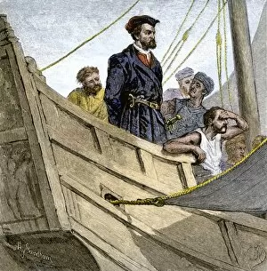
EXPL2A-00034Leif Erikssen off the coast of Vineland in a Viking landing boat. Hand-colored photogravure of a 19th-century illustration
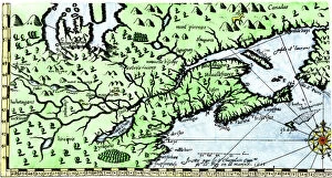
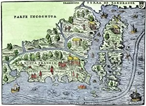
EXPL2A-00184Part of the 1613 Samuel de Champlain map of New France. Hand-colored woodcut of a 19th-century reproduction of the original ma
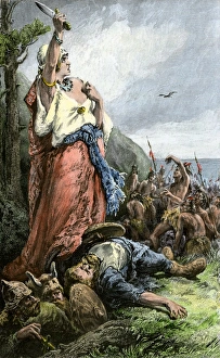
Vikings battling natives on the coast of VinlandFreydis defends her fellow Norse settlers from Native Americans, or Skraelings, 1009. Hand-colored woodcut of a 19th-century illustration
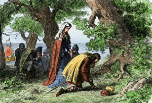
Vikings discovering VinlandNorse settlers Thorfin and Gudrida landing on Vinland. Hand-colored woodcut of a 19th-century illustration
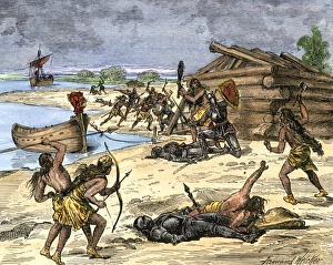
Norse settlers in battle with New World nativesViking expedition leader Thorwald fatally wounded by natives on the coast of Canada, 1002 AD. Hand-colored woodcut of a 19th-century illustration
Viking explorers on the North American coastViking settlers exploring the North American coast. Hand-colored woodcut of a 19th-century illustration
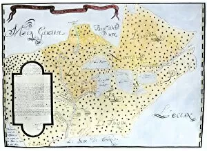
EXPL2A-00126Map of New France, 1550, showing the coast of Canada and the Gulf of Saint Lawrence Hand-colored woodcut
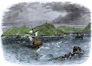
EXPL2A-00231Shipwrecks in the Strait of Belle Isle, Gulf of St Lawrence, Canada. Hand-colored woodcut of a 19th-century illustration
EXPL2A-00234Huron chief Donnacona warns Cartiers expedition not to sail up the St Lawrence River, 1535. Hand-colored woodcut of a 19th-century illustration
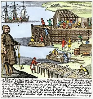
BUSN2A-00083Cod fishermen drying and salting fish on the Newfoundland coast, 1700s. Hand-colored woodcut
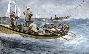
BUSN2A-00189Dories racing for a school of fish, Atlantic Ocean, 1880s. Hand-colored woodcut of a 19th century illustration
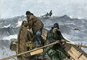
BUSN2A-00161Fishermen in a dory on the Grand Banks off Newfoundland, 1880s. Hand-colored woodcut of a 19th-century illustration
EXPL2A-00329Louis Joliets map of New France, 1673-1674, including the upper Mississippi River he and Jacques Marquette discovered. Hand-colored halftone reproduction
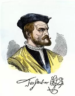
PEXP2A-00081Jacques Cartier portrait with his autograph. Hand-colored woodcut of a 19th-century illustration
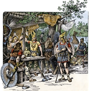
Vikings in the New WorldNorsemen celebrating their discovery of the New World. Hand-colored woodcut of a 19th-century illustration
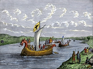
EXPL2A-00103Fleet of Viking ships at sea. Hand colored woodcut of a 19th-century illustration
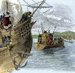
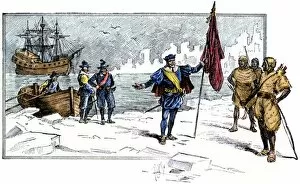
EXPL2A-00232Jacques Cartier aboard ship arriving on the shore of Canada, 1534. Hand-colored woodcut of a 19th-century illustration
EXPL2A-00247Jacques Cartier embraced by Donnacona, a native Canadian Huron chief, Gaspee Peninsula, 1535. Hand-colored woodcut of a 19th-century illustration
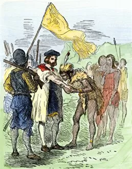
EXPL2A-00085English Explorer John Cabot landing on the shore of Canada, 1484. Hand-colored woodcut of a 19th-century illustration
EXPL2A-00058Samuel de Champlains map of the Gaspee and Gulf of the Saint Lawrence River, 1632. Hand-colored woodcut reproduction of the original map
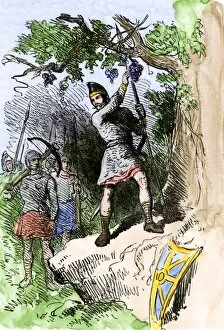
EXPL2A-00306Discovery of grapes by Leif Erikssons expedition, 1001 AD, leading to naming the new land Vinland. Hand-colored woodcut of a 19th-century illustration
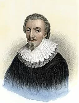
PUSA2A-00052George Calvert, First Baron Baltimore, founder of an English colony in Newfoundland and granted Maryland colony. Hand-colored woodcut of a 17th-century portrait