mail_outline sales@mediastorehouse.com
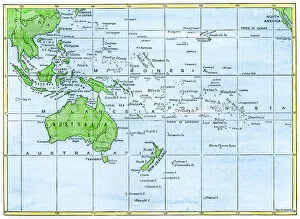
GPAC2A-00018Map of the Pacific island groups, 1800s. Hand-colored woodcut of a 19th-century illustration
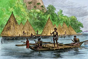
Papua, New Guinea, native villageNative village on Humboldt Bay, Papua, New Guinea, 1800s. Hand-colored woodcut of a 19th-century illustration
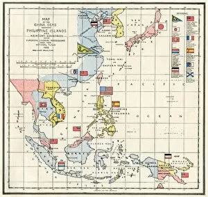
EVNT2A-00313Map of the China Seas, Philippines, and European colonies in the region, 1898. Printed color lithograph 19th century
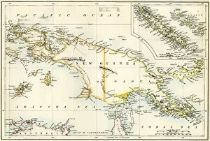
GPAC2A-00023Map of New Guinea and New Caledonia, 1870s. Printed color lithograph of a 19th-century illustration
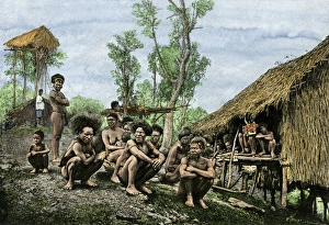
Papuan natives, 1800sGroup of Koyari chiefs and their families, southeast New Guinea, 1800s. Hand-colored engraving reproduction of a 19th-century photograph