mail_outline sales@mediastorehouse.com
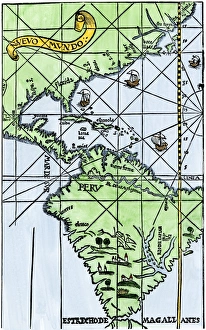
South America mapped after Magellans voyage, 1519New World map after Magellans passage around Cape Horn in 1519. Hand-colored woodcut of a 19th century illustration
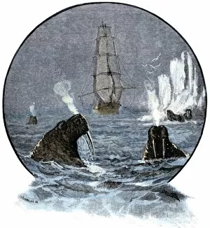
EXPL2A-00285Walrus in Arctic waters near a tall sailing ship. Hand-colored woodcut of a 19th-century illustration
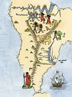
EXPL2A-00026Map of South America, from Sebastian Cabots map of the world, 1544. Hand colored 19th-century woodcut reproduction of the original map
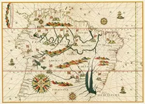
EXPL2A-00021Map of South America from the Spanish atlas executed at Messina in 1582 by Joan Martines. Printed color lithograph reproduction 19th century
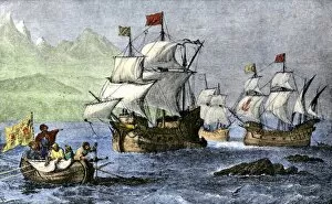
EXPL2A-00010Columbus expedition coasting along the northern shore of Cuba. Hand-colored woodcut of a 19th-century illustration
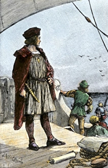
EXPL3A-00008Columbus watching for land from the deck of the caravel Santa Maria, 1492. Hand-colored woodcut of a 19th-century illustration
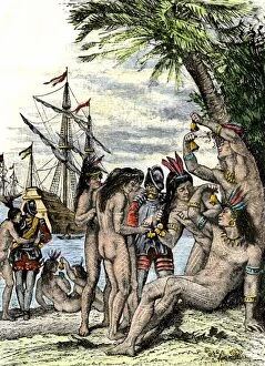
EXPL2A-00005Columbus giving hawks bells to natives after landing in the Caribbean, 1492. Hand-colored woodcut of a 19th-century illustration
EXPL2A-00003Cuban native chief addresses Christopher Columbus on the immortality of the soul. Hand-colored woodcut of a 19th-century illustration
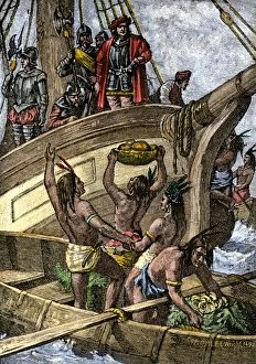
EXPL2A-00002Caribbean natives bring provisions to the shipwrecked crew of Columbus, 1492. Hand-colored woodcut of a 19th-century illustration
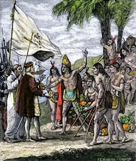
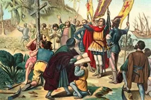
EXPL2A-00056Christopher Columbus taking possession of the New World for Spain, 1492 Printed color lithograph of a 19th-century illustration
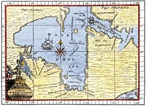
EXPL2A-00190Map of Hudsons Bay, Canada, showing Hudsons Strait, 1722. Hand-colored 19th-century woodcut reproduction of an 18th-century map
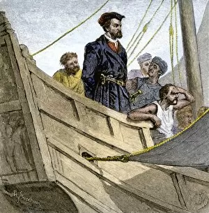
EXPL2A-00232Jacques Cartier aboard ship arriving on the shore of Canada, 1534. Hand-colored woodcut of a 19th-century illustration
EXPL2A-00058Samuel de Champlains map of the Gaspee and Gulf of the Saint Lawrence River, 1632. Hand-colored woodcut reproduction of the original map
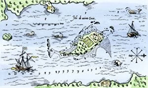
EXPL2A-00296Map of Champlains settlement on the Isle de Sainte Croix, Canada, 1613. Hand-colored 19th-century woodcut reproduction of the original map
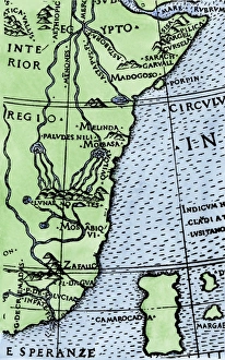
Cape of Good Hope mapped at its correct latitude, 1508First map showing Africas southern point at the correct latitude, from Ruysch 1508. Hand-colored woodcut reproduction of a 16th-century illustration