mail_outline sales@mediastorehouse.com
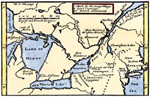
French map of the Great Lakes, 1703La Hontans map of the Great Lakes and Saint Lawrence valley, 1703. Hand-colored 19th-century woodcut reproduction of an 18th century illustration
Ice-cutting in Quebec, 1850sSawing and harvesting ice on the St. Lawrence River, 1850s. Hand-colored woodcut of a 19th-century illustration
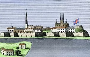
GCAN2A-00011Montreal, Canada, seen from the St. Lawrence River, 1760. Hand-colored woodcut
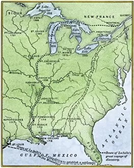
EXPL2A-00171Map showing the route of La Salles explorations in North America, late 1600s. Hand-colored woodcut of a 19th-century illustration
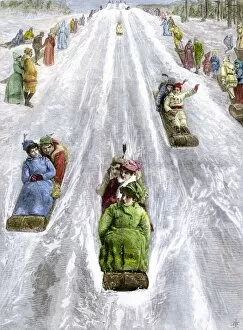
HREC2A-00035Toboggan slide in a park in Montreal, Canada, 1880s. Hand-colored woodcut of a 19th-century illustration
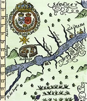
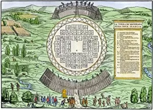
EXPL2A-00246Hochelaga, site of Montreal, shown as a Native American village in Lescarbots map, 1609. Hand-colored 19th-century woodcut reproduction of a 17th-century document
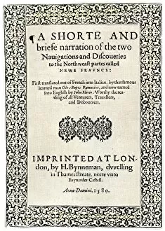
EXPL2A-00251Title page of the London edition of Jacques Cartiers book about his discoveries in Canada, printed in 1580. Watercolor wash over a 19th-century printed halftone reproduction
EXPL2A-00249French colonists building fort at Hochelaga, a native village and the site of Montreal, Canada, 1600s. Hand-colored halftone reproduction of a 17th-century illustration
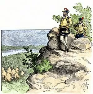
EXPL2A-00087Jacques Cartier on the summit of Mont Real, now Montreal, Canada, 1535. Hand-colored woodcut of a 19th-century illustration
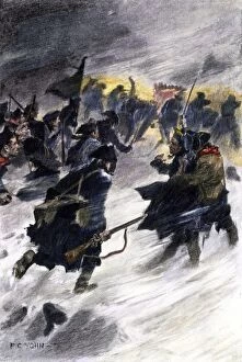
EVRV2A-00087Benedict Arnolds attack on the British in Quebec in the winter of 1775. Hand-colored halftone of a 19th-century illustration by F.C. Yohn