mail_outline sales@mediastorehouse.com
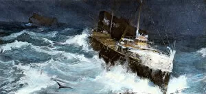
TRAN2A-00040Freighter struggling through a storm on Lake Superior, circa 1900. Hand-colored halftone reproduction of an illustration
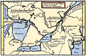
French map of the Great Lakes, 1703La Hontans map of the Great Lakes and Saint Lawrence valley, 1703. Hand-colored 19th-century woodcut reproduction of an 18th century illustration
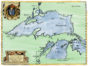
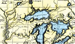
French settlement of the Great Lakes, 1600sFrench Jesuit map of Lake Superior, Upper Michigan, and Wisconsin, 1600s. Hand-colored woodcut of a 17th-century illustration
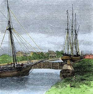
Sault Sainte Marie Canal, US / Canada border, 1880sShips entering Sault Sainte Marie Canal connecting Lakes Superior and Huron on the US/Canada border, 1880s. Hand-colored woodcut of a 19th century illustration
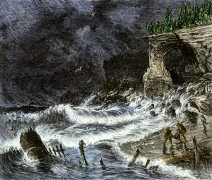
Shipwreck on Lake Superior, 1800sStorm washing shipwreck victims and debris ashore along Lake Superior, 1800s. Hand-colored woodcut of a 19th-century illustration
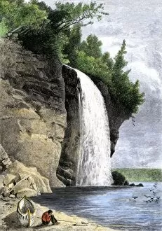
NATI2A-00049Native American and his canoe beside Silver Cascade on the shore of Lake Superior, 1800s. Hand-colored woodcut of a 19th-century illustration
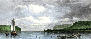
Lake Superior fishing boats, 1800sFishing with nets in Munesing harbor, Lake Superior, 1880s. Hand-colored woodcut of a 19th-century illustration
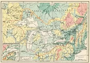
EXPL2A-00357Map of the Great Lakes and the St. Lawrence watershed. Printed color lithograph, 19th century
EXPL2A-00350French map of the Great Lakes and upper Mississippi River region, circa 1700. Hand-colored 19th-century woodcut reproduction