mail_outline sales@mediastorehouse.com
Rio de Janeiro about 1700Rio de Janeiro from the harbor while a Portuguese colony, circa 1700. Hand-colored woodcut reproduction of an 18th-century illustration
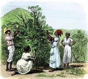
AGRI2A-00088Native field hands picking coffee in Brazil 1800s. Hand-colored woodcut of a 19th-century illustration
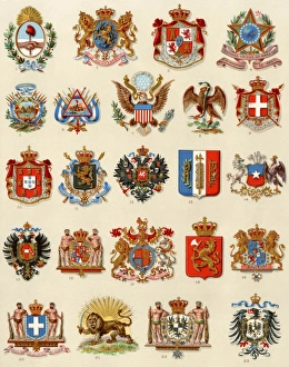
Coats of arms of some nations, 1800sNational coats of arms of selected countries, 1800s. Printed color lithograph
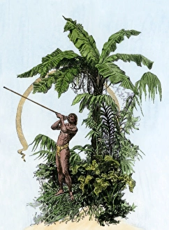
Weapon used by hunters of the AmazonBrazilian native using zarabatana, or shooting-tube, a hunting weapon. Hand-colored woodcut of a 19th-century illustration
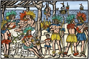
Brazilian cannibalism, 1500sNatives eating and cooking human flesh, northern Brazil, circa 1500. Hand-colored woodcut reproduction of a 16th-century illustration
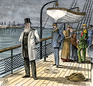
Pedro II leaving Brazil, 1889Exile of Brazilian Emperor Pedro II after abdication, 1889. Hand-colored woodcut of a 19th-century illustration
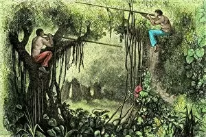
EXPL2A-00336Brazilian natives hunting with poison blow-guns, Amazon basin. Hand-colored woodcut of a 19th century illustration
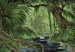
Amazon rain forestRain forest in the upper Amazon basin. Hand-colored woodcut of a 19th-century illustration
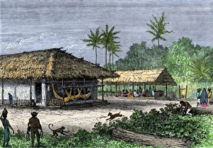
Brazilian native village, 1800sNative houses in a jungle of Brazil, 1800s. Hand-colored woodcut of a 19th-century illustration
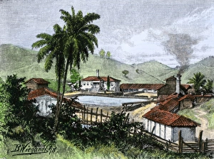
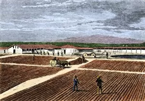
Coffee plantation in BrazilCoffee plantation in southern Brazil, 1800s. Hand-colored woodcut of a 19th-century illustration
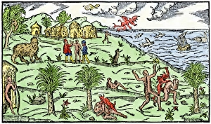
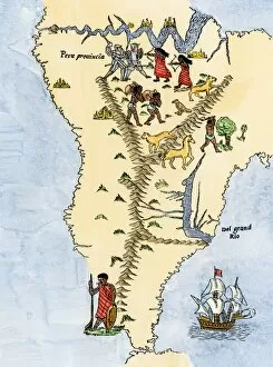
Early depiction of Brazil in the Age of DiscoveryBrazil coast, natives, and New World flora and fauna as known in 1586. Hand-colored woodcut from De Lery
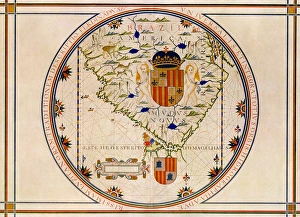
Portuguese map of the tip of South America, 1571Map of South America printed in Lisbon, 1571. Printed color halftone reproduction
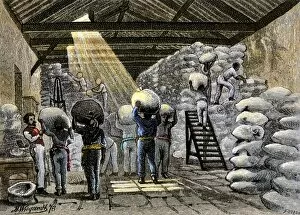
AGRI2A-00012Sacks of coffee carried into a warehouse in Brazil, 1800s. Hand-colored woodcut of a 19th-century illustration
AGRI2A-00013Coffee berries spread in the plantation yard to ferment and dry, 1800s. Hand-colored woodcut of a 19th-century illustration
EXPL2A-00026Map of South America, from Sebastian Cabots map of the world, 1544. Hand colored 19th-century woodcut reproduction of the original map
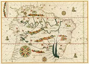
EXPL2A-00021Map of South America from the Spanish atlas executed at Messina in 1582 by Joan Martines. Printed color lithograph reproduction 19th century