mail_outline sales@mediastorehouse.com
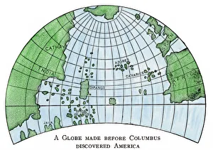
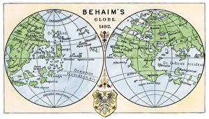
Globe of 1492, lacking the New WorldDiagram of Martin Behaims globe, made just before Columbus discovered America. Hand-colored woodcut of a 19th-century illustration
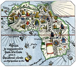
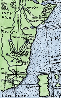
Vasco da Gamas route around Africa, 1400sAfrica as known after Vasco da Gamas discoveries, from map of Juan de la Cosa, 1500. Hand-colored woodcut reproduction
Behaims 1492 globe showing a round Earth but no New WorldDiagram of globe by Martin Behaim, without the New World, created in 1492. Hand-colored woodcut of a 19th-century illustration
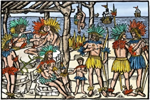
Brazilian cannibalism, 1500sNatives eating and cooking human flesh, northern Brazil, circa 1500. Hand-colored woodcut reproduction of a 16th-century illustration
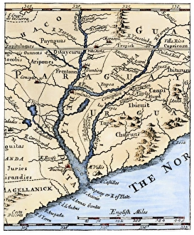
Rio de la Plata, 1698Mouth of the Rio de la Plata in South America, in a map of 1698. Hand-colored woodcut of a 19th-century illustration
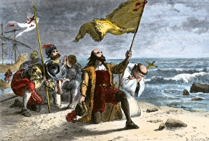
Columbus landing in the New World, 1492First landing of Columbus in the New World, 1492. Hand-colored woodcut of a 19th-century illustration
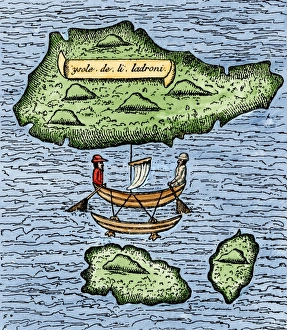
Mariana Islands in the Pacific discovered by Magellan, 1521The Ladrones, later called the Marianas, and a native outrigger drawn by Pigafetta on the Magellan expedition, 1521. Hand-colored woodcut reproduction of a 16th-century illustration
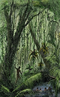
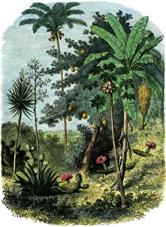
New World natives in a rain forestNatives in a tropical rain forest in the New World. Hand-colored woodcut of a 19th-century illustration
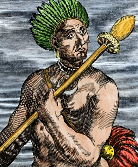
Patagonian as described by early explorers, 1500sQuoniambec, a Patagonia native described as a giant by explorers. Hand-colored woodcut reproduction of a 16th-century illustration
A view of the tropical New WorldTropical forest of the " Spanish Main" of Central America or the Caribbean. Hand-colored woodcut of a 19th-century illustration
Magellan sails around South America to circumnavigate the earthMagellan passing through his Strait to sail around South America on his circumnavigation of the earth, 1519-1522. Hand-colored woodcut reproduction
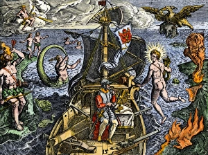
Sailing unknown seas in the Age of DiscoveryNavigating the Sea of Darkness. Hand-colored woodcut reproduction
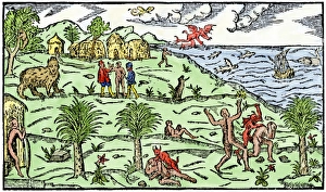
Early depiction of Brazil in the Age of DiscoveryBrazil coast, natives, and New World flora and fauna as known in 1586. Hand-colored woodcut from De Lery
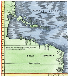
Early map of the New World, 1513Tabula Terre Nove 1513: the Admirals Map of the Caribbean and Terra Incognita (unknown lands). Hand-colored woodcut reproduction
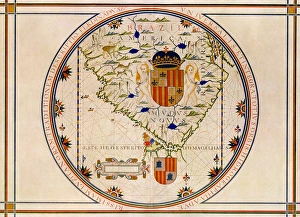
Portuguese map of the tip of South America, 1571Map of South America printed in Lisbon, 1571. Printed color halftone reproduction
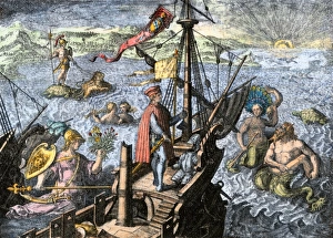
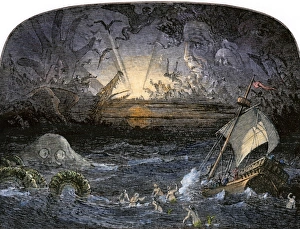
Sea of DarknessTerrors in the Sea of Darkness. Hand-colored woodcut of a 19th-century illustration
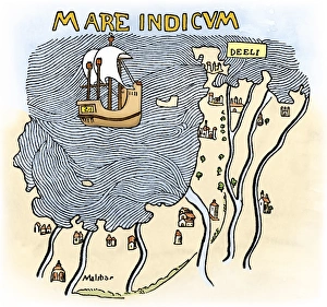
India coast, 1459The Malabar coast of India, from Fra Mauros map, 1459 (south is at the top). Digitally colored woodcut reproduction
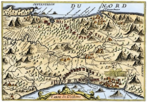
Isthmus of Panama, 1744Map from Oexmelins Histoire of the Isthmus of Panama, 1744. Hand-colored woodcut
Cape of Good Hope mapped at its correct latitude, 1508First map showing Africas southern point at the correct latitude, from Ruysch 1508. Hand-colored woodcut reproduction of a 16th-century illustration