Home > Exploration
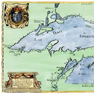
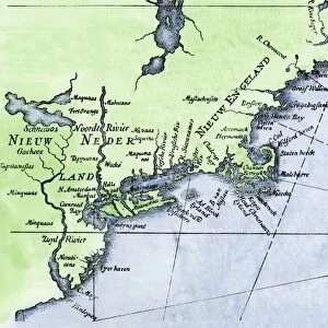
Framed Print : French map of the Great Lakes, 1703


![]()
Framed Photos from North Wind
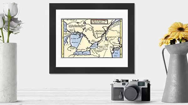
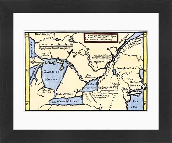
French map of the Great Lakes, 1703
La Hontans map of the Great Lakes and Saint Lawrence valley, 1703.
Hand-colored 19th-century woodcut reproduction of an 18th century illustration
Media ID 5880924
© North Wind Picture Archives
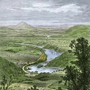
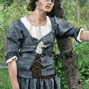
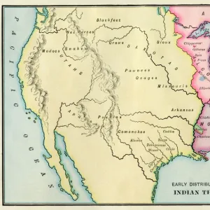
1700s 18th Century Aboriginal America Amerindian Boston Canada Canadian Colonial Colony Discover Document East Eastern English Colony Exploration Explore French French Canada French Colony Great Lakes Indian Iroquois Lake Erie Lake Michigan Lake Ontario Lake Superior Montreal Native Native American New England New France New World New York Quebec Settlement
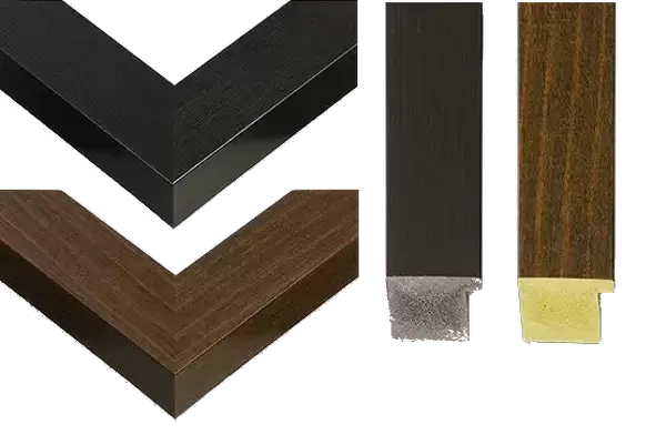
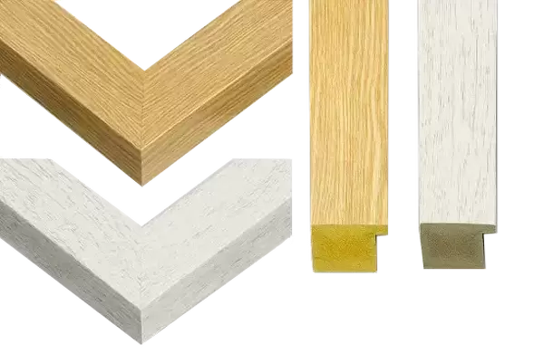
14"x12" (38x32cm) Modern Frame
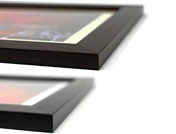
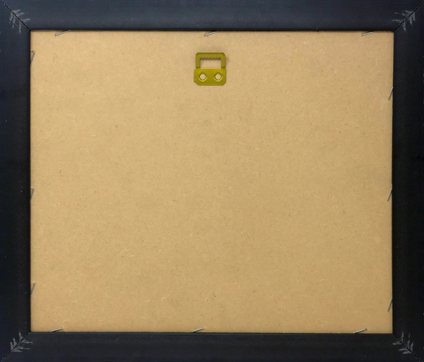
Wood effect frame, card mounted, 10x8 archival quality photo print. Overall outside dimensions 14x12 inches (38x32cm). Environmentally and ozone friendly, 40mm wide x 15mm Polycore® moulding has the look of real wood, is durable and light and easy to hang. Biodegradable and made with non-chlorinated gases (no toxic fumes) it is efficient; producing 100 tons of polystyrene can save 300 tons of trees! Prints are glazed with lightweight, shatterproof, optical clarity acrylic (providing the same general protection from the environment as glass). The back is stapled hardboard with a sawtooth hanger attached. Note: To minimise original artwork cropping, for optimum layout, and to ensure print is secure, the visible print may be marginally smaller
Contemporary Framed and Mounted Prints - Professionally Made and Ready to Hang
Estimated Image Size (if not cropped) is 24.4cm x 15.9cm (9.6" x 6.3")
Estimated Product Size is 37.6cm x 32.5cm (14.8" x 12.8")
These are individually made so all sizes are approximate
Artwork printed orientated as per the preview above, with landscape (horizontal) orientation to match the source image.
FEATURES IN THESE COLLECTIONS
> Maps
MADE IN THE UK
Safe Shipping with 30 Day Money Back Guarantee
FREE PERSONALISATION*
We are proud to offer a range of customisation features including Personalised Captions, Color Filters and Picture Zoom Tools
SECURE PAYMENTS
We happily accept a wide range of payment options so you can pay for the things you need in the way that is most convenient for you
* Options may vary by product and licensing agreement. Zoomed Pictures can be adjusted in the Cart.