
Home > Exploration
EXPL2A-00022

Poster Prints
Photo Prints
Jigsaw Puzzles
Framed Photos
Cards
Canvas Prints
Fine Art Prints
Mounted Prints
Home Decor
Metal Prints
![]()
Wall Art and Photo Gifts from North Wind
EXPL2A-00022
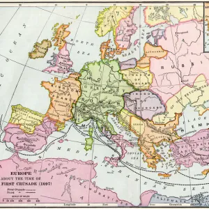
Map of the United States in 1819, showing territory under Spanish and British control.
Printed color halftone of a 19th-century illustration
Media ID 5880417
© North Wind Picture Archives
Colonial Colony Mexico Missouri New Spain Spanish States Territory Texas
FEATURES IN THESE COLLECTIONS
> Maps
MADE IN THE UK
Safe Shipping with 30 Day Money Back Guarantee
FREE PERSONALISATION*
We are proud to offer a range of customisation features including Personalised Captions, Color Filters and Picture Zoom Tools
SECURE PAYMENTS
We happily accept a wide range of payment options so you can pay for the things you need in the way that is most convenient for you
* Options may vary by product and licensing agreement. Zoomed Pictures can be adjusted in the Basket.
Beautiful Photo Prints and Gifts
Professionally Printed
Photo Prints are in stock
Professional quality finish
Made with high-grade materials
Carefully packed to aid safe arrival
Related Images
+
Shipping
+
Choices
+