Home > Exploration
EXPL2A-00016

![]()
Wall Art and Photo Gifts from North Wind
EXPL2A-00016
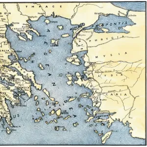
Hennepins map of New France and Louisiana - La Carte de la Nouvelle France, 1683.
Hand-colored 19th-century woodcut reproduction of the original map
Media ID 5880391
© North Wind Picture Archives
1600s 1680s 17th Century Acadia Artifact Canada Canadian Chart Colonial Colony Discover Document Eastern Exploration Explore Florida French French Canada Great Lakes Louisiana Louisiana Territory Mississippi River New France Quebec Sailing Ship Ship Virginia
FEATURES IN THESE COLLECTIONS
> Maps
MADE IN THE UK
Safe Shipping with 30 Day Money Back Guarantee
FREE PERSONALISATION*
We are proud to offer a range of customisation features including Personalised Captions, Color Filters and Picture Zoom Tools
SECURE PAYMENTS
We happily accept a wide range of payment options so you can pay for the things you need in the way that is most convenient for you
* Options may vary by product and licensing agreement. Zoomed Pictures can be adjusted in the Basket.