Home > Exploration
Canvas Print : EXPL2A-00014


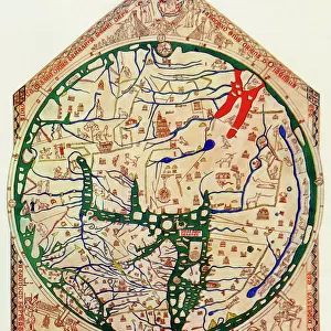
![]()
Canvas Prints from North Wind
EXPL2A-00014
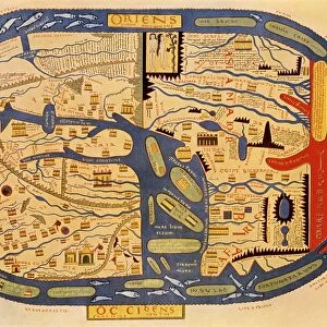
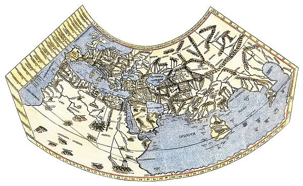
Ptolemys map of the world, illustrating a concept of the flat earth.
Hand-colored 19th-century woodcut reproduction
Media ID 5880381
© North Wind Picture Archives
Adventure Africa Ancient Asia Atlantic Ocean Cartography Chart Discover Europe Exploration Explore Flat Earth Greece Greek Indian Ocean Maritime Mediterranean Mediterranean Sea Navigation Ocean Travel World World Map
21"x14" (53x35cm) Canvas Print
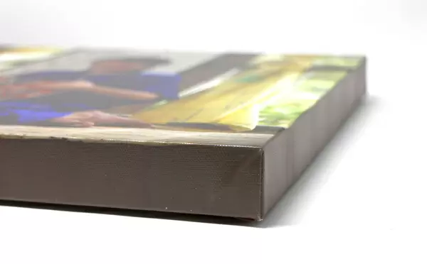
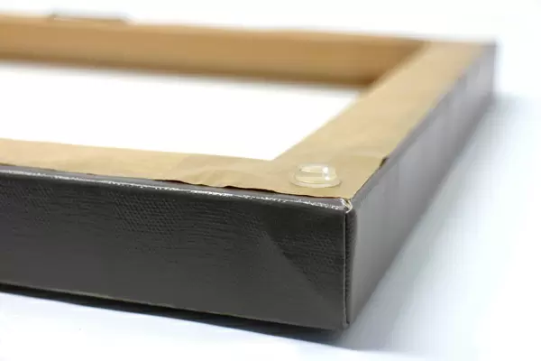
Ready to hang Premium Gloss Canvas Print. Our archival quality canvas prints are made from Polyester and Cotton mix and stretched over a 1.25" (32mm) kiln dried knot free wood stretcher bar. Packaged in a plastic bag and secured to a cardboard insert for transit.
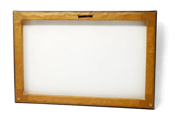
Canvas Prints add colour, depth and texture to any space. Professionally Stretched Canvas over a hidden Wooden Box Frame and Ready to Hang
Estimated Product Size is 53.3cm x 35.6cm (21" x 14")
These are individually made so all sizes are approximate
Artwork printed orientated as per the preview above, with landscape (horizontal) orientation to match the source image.
FEATURES IN THESE COLLECTIONS
> Maps
MADE IN THE UK
Safe Shipping with 30 Day Money Back Guarantee
FREE PERSONALISATION*
We are proud to offer a range of customisation features including Personalised Captions, Color Filters and Picture Zoom Tools
SECURE PAYMENTS
We happily accept a wide range of payment options so you can pay for the things you need in the way that is most convenient for you
* Options may vary by product and licensing agreement. Zoomed Pictures can be adjusted in the Cart.