Home > Ancient history
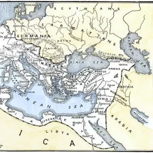
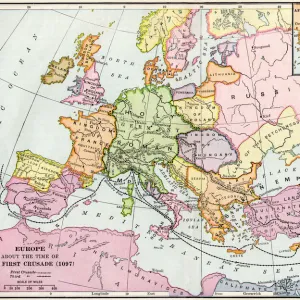
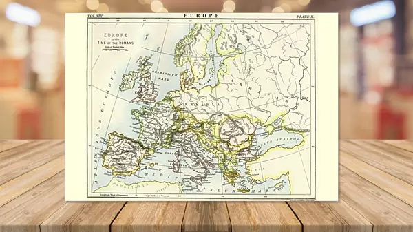
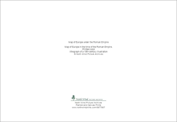
Greetings Card : Map of Europe under the Roman Empire


![]()
Cards from North Wind
Map of Europe under the Roman Empire
Map of Europe in the time of the Roman Empire.
Printed color lithograph of a 19th-century illustration
Media ID 5877807
© North Wind Picture Archives
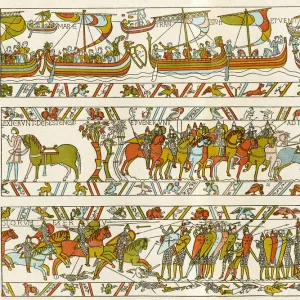
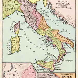
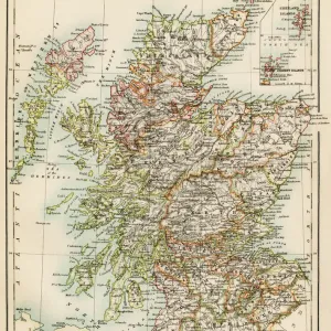
Ancient Ancient Civilization Ancient History Ancient Roman Ancient Rome Antiquity Britain British Isles Civilization Classical Classical Civilization England Europe European Gaul Italy Roman Roman Empire Rome
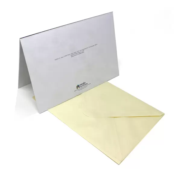
Greetings Card (A5)
Create your own greetings card. Size when folded is A5 (14.5x21cm or 5.7x8.3 inches)
Greetings Cards suitable for Birthdays, Weddings, Anniversaries, Graduations, Thank You and much more
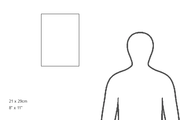
Estimated Image Size (if not cropped) is 17.9cm x 14.5cm (7" x 5.7")
Estimated Product Size is 21cm x 29cm (8.3" x 11.4")
These are individually made so all sizes are approximate
Artwork printed orientated as per the preview above, with landscape (horizontal) orientation to match the source image.
FEATURES IN THESE COLLECTIONS
> Maps
MADE IN THE UK
Safe Shipping with 30 Day Money Back Guarantee
FREE PERSONALISATION*
We are proud to offer a range of customisation features including Personalised Captions, Color Filters and Picture Zoom Tools
SECURE PAYMENTS
We happily accept a wide range of payment options so you can pay for the things you need in the way that is most convenient for you
* Options may vary by product and licensing agreement. Zoomed Pictures can be adjusted in the Cart.