Home > Africa history
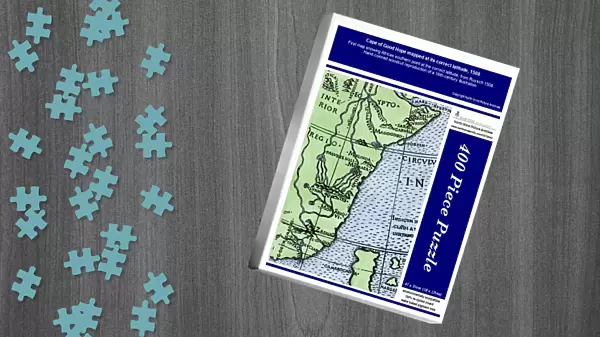
Jigsaw Puzzle : Cape of Good Hope mapped at its correct latitude, 1508


![]()
Jigsaw Puzzles from North Wind
Cape of Good Hope mapped at its correct latitude, 1508
First map showing Africas southern point at the correct latitude, from Ruysch 1508.
Hand-colored woodcut reproduction of a 16th-century illustration
Media ID 5876042
© North Wind Picture Archives
1500s 16th Century Africa African Age Of Discovery Cartography Discovery Exploration Explore Explorer Navigation Portuguese South Africa Trade Trade Route
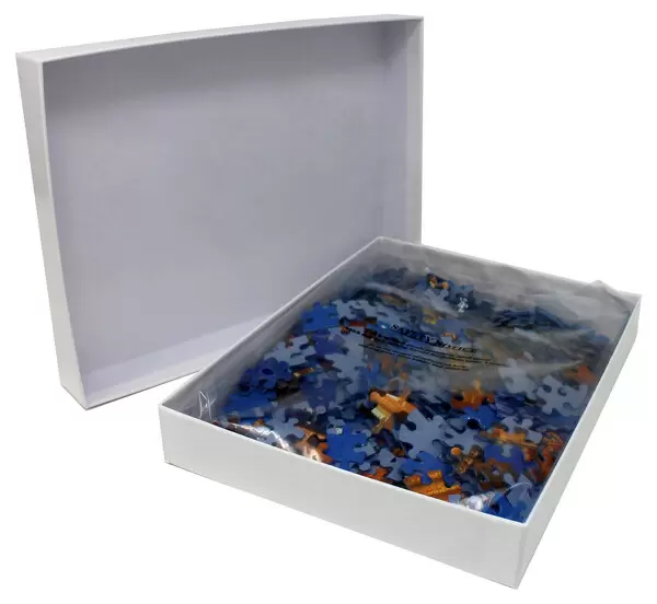
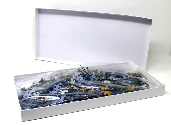
Jigsaw Puzzle (400 Pieces)
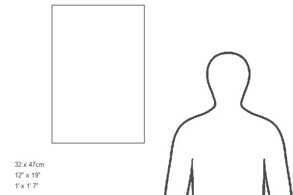
400 piece puzzles are custom made in the UK and hand-finished on 100% recycled 1.5 mm millboard. There is a level of repetition in jigsaw shapes with each matching piece away from its pair. The completed puzzle measures 31x47cm and is delivered packaged in an attractive presentation box specially designed to fit most letter box slots
Jigsaw Puzzles are an ideal gift for any occasion
Estimated Product Size is 31.5cm x 47.2cm (12.4" x 18.6")
These are individually made so all sizes are approximate
Artwork printed orientated as per the preview above, with landscape (horizontal) or portrait (vertical) orientation to match the source image.
FEATURES IN THESE COLLECTIONS
> Maps
MADE IN THE UK
Safe Shipping with 30 Day Money Back Guarantee
FREE PERSONALISATION*
We are proud to offer a range of customisation features including Personalised Captions, Color Filters and Picture Zoom Tools
SECURE PAYMENTS
We happily accept a wide range of payment options so you can pay for the things you need in the way that is most convenient for you
* Options may vary by product and licensing agreement. Zoomed Pictures can be adjusted in the Cart.