Home > Maps
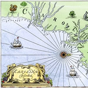
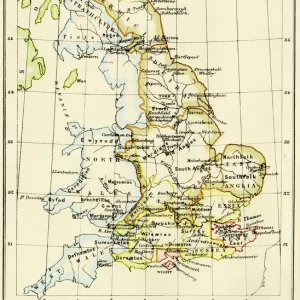
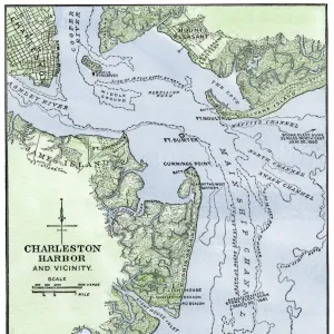
Map of colonial Charleston, South Carolina, 1600s

![]()
Wall Art and Photo Gifts from North Wind
Map of colonial Charleston, South Carolina, 1600s
Colonial map of the Ashley and Cooper rivers, site of Charleston, South Carolina, 1600s.
Hand-colored 19th-century woodcut reproduction of a document
Media ID 5882523
© North Wind Picture Archives
1600s 17th Century Charleston City Colonial Colony English English Colony Harbor Port Sea Port Settlement South South Carolina Southern Town
MADE IN THE UK
Safe Shipping with 30 Day Money Back Guarantee
FREE PERSONALISATION*
We are proud to offer a range of customisation features including Personalised Captions, Color Filters and Picture Zoom Tools
SECURE PAYMENTS
We happily accept a wide range of payment options so you can pay for the things you need in the way that is most convenient for you
* Options may vary by product and licensing agreement. Zoomed Pictures can be adjusted in the Basket.