mail_outline sales@mediastorehouse.com
Map of England in 1066England at the time of the Norman conquest, 1066-1081. Color lithograph of a 19th-century illustration
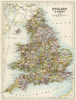
Map of England, 1800sMap of England and Wales, 1870s. Color lithograph reproduction of a 19th-century illustration
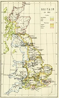
Map of Britain in 597 ADMap of territory controlled by Celts, Picts, Anglos, Saxons, and other tribes in Britain in 597 AD. Printed color lithograph of a 19th-century illustration
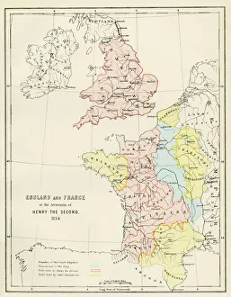
Map of England and France, 1154England and France at the accession of Henry II, 1154. Color lithograph reproduction of a 19th-century illustration
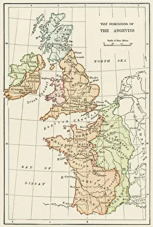
Angevin kings holdings in France and BritainBritish Isles and France under the Angevins, 1100s-1400s. Color lithograph reproduction of a 19th-century illustration
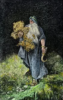
Druid carrying mistletoe and a sickle. Hand-colored woodcut of a 19th-century illustration
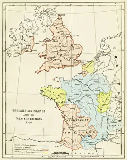
Treaty of Bretigny territory settlements, 1360England and France after the Treaty of Bretigny, Hundred Years War, 1360. Color lithograph reproduction of a 19th-century illustration
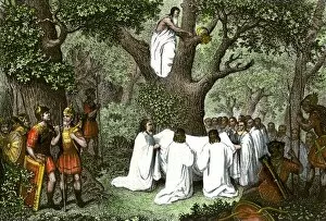
Druids collecting sacred mistletoeDruid ceremony gathering mistletoe in the forest. Hand-colored engraving of a 19th-century illustration
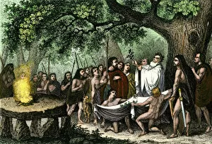
Druids cutting mistletoeDruid priests gathering mistletoe, observed by Roman soldiers. Hand-colored woodcut of a 19th-century illustration
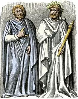
Druid priest and sacrificerDruid priest with the crescent of the sixth day of the moon, and a Druid sacrificer. Hand-colored woodcut of a 19th-century illustration
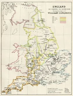
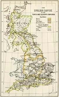
GGBR2A-00069Map of English holdings in the 10th and 11th centuries, showing earldomes and vassal kingdoms. Printed color lithograph, 19th-century
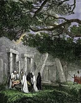
GANC2A-00261Druid human sacrifice at Stonehenge stopped by Roman soldiers. Hand-colored woodcut of a 19th century illustration