mail_outline sales@mediastorehouse.com
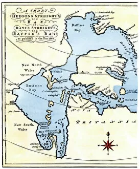
EXPL2A-00284Early map of Hudsons Strait and Hudsons Bay, 1662, in Arctic Canada. Hand-colored 19th-century woodcut reproduction
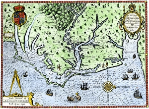
Virginia map, 1588Thomas Harriots map of Virginia, 1588. Hand-colored 19th-century woodcut reproduction of a document
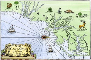
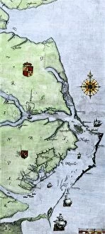
Carolina coast map, 1600sMap of the Carolinas, showing Charleston and the Outer Banks, north on the right. Hand-colored woodcut reproduction of a 17th-century map
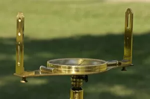
Surveyors compass, 18th centurySurveyors compass from the 1700s, displayed during a reenactment at Yorktown Battlefield, Colonial National Park. Digital photograph
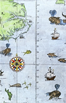
EXPL2A-00220John Whites map of the Virginia and Carolina coast where Roanoke Colony was located, 1500s. Hand-colored 19th-century reproduction engraving
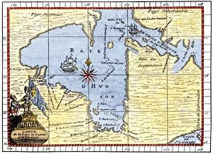
EXPL2A-00190Map of Hudsons Bay, Canada, showing Hudsons Strait, 1722. Hand-colored 19th-century woodcut reproduction of an 18th-century map
EXPL2A-00058Samuel de Champlains map of the Gaspee and Gulf of the Saint Lawrence River, 1632. Hand-colored woodcut reproduction of the original map
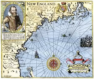
EXPL2A-00291John Smiths map of New England, with inset portrait, circa 1620. Hand-colored 19th-century woodcut reproduction of the original
Virginia and North Carolina coast, 1500sJohn Whites map of the Atlantic coast of North Carolina and Virginia, 1500s. Hand-colored 19th-century woodcut reproduction
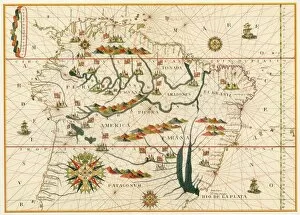
EXPL2A-00021Map of South America from the Spanish atlas executed at Messina in 1582 by Joan Martines. Printed color lithograph reproduction 19th century